City’s “Traffic Calming & Bikeways Project” Rolls Forward As Locals Provide Input
By Larry Freeman

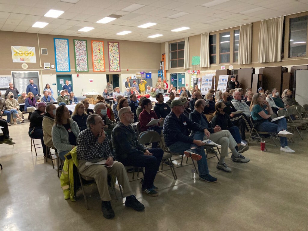
A sizeable group of around seventy adults and two young children who worked at a coloring table, responded to a deep, data based traffic safety presentation at Edison School’s Multi Purpose Room on the evening of November 4th.
While Monday Night Football and typical dinner time routines captured the attention of many that night, residents, city staff, members of the traffic study firm Parametrix Engineering and three City Council members focused their attention on more substantial matters.
The workshop style meeting consisted largely of a professionally prepared series of lecture presentations backed by fifty four powerpoint slides outlining the location and scope of the proposed “Calming” project, a back history on traffic busy Fernside Boulevard and current conditions, accident and traffic violation data, and pedestrian, cyclist mitigations that could be implemented.
An average of over 10,000 vehicles travel the corridor on any given day, and it has been the scene of numerous crashes, speeding tickets, stop sign runners, “near strikes ” of pedestrian and bicyclist by reckless or oblivious drivers, one fatality and two cyclist strikes, among other dangers.
The several weeks long Parmetrix study showed speeds along the 25mph roadway running at 31-34 mph depending on the segment.
The meeting’s second component involved the gathering of community input to guide research what measures are consistent with the problem and to catalogue local wishes about which of the many mitigations could be implemented down the road,
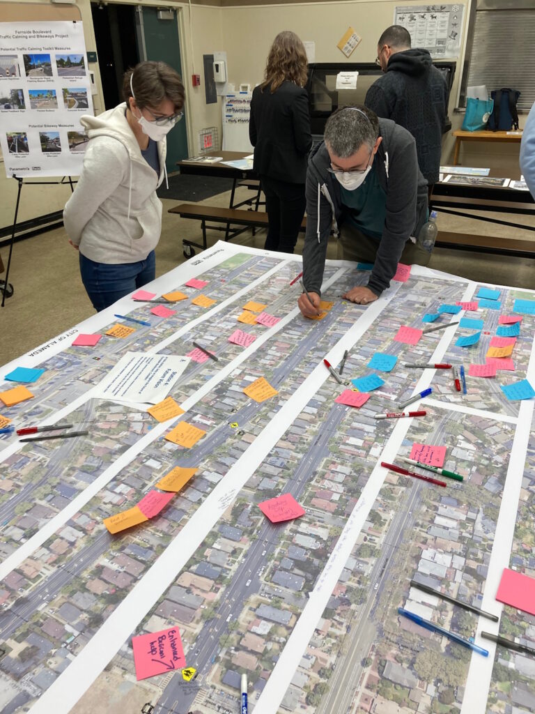
Participants flocked to workshop tables on top of which were two large, detailed “Future Vision” maps of all streets and intersections in the area.
The public had their say by posting sticky note comments for what they saw as problems or needed fixes at any given location, and to speak with City Staff from Public Works, Alameda Senior Transporation Coordinator Lisa Foster, members of Parametrix, Mayor Ashcraft, and council members Tracy Jensen and Trish Spencer.
Vice Mayor Tony Daysog and Councilperson Malia Vella were not in attendance.
Representative of community member comments were such as “Nightmare Intersection” (Garfield and Fernside), “Protected bike lanes for kids –raised– all the way to Lincoln,” “Install blinking crosswalk light,” and “Pedestrian cones (called ‘crosswalk paddles’) seem to override stop sign ie cars think it’s a yield vs stop.”

What became clear before long is that the meeting was just first step of many to come before any substantial remedy set of infrastructure changes will be in place.
At the extreme, the projected date of completion for “low stress bike lanes,” which provide physical barrier and distance protection from motor vehicles won’t happen until 2030, if such a choice is approved.
In the more near term, 2025 is slated for a major thoroughfare pavement resurfacing project, which will then allow for some, easier to implement “traffic calming” measures that might include better sightlines for pedestrian crossings, a narrowing of traffic lanes, and perhaps pedestrian activated “rapid flashing beacons” as that just across from Lincoln Middle School.
It appears, at this time, during “Phase I” of the process –mainly about community information gathering, and further study to guide planning– that any “hardscape” mitigations are a ways off, as the City and Parametrix determine what ‘fixes’ are best to be put in place.
Those will be driven, in part, by traffic patterns, car crash and bike/pedestrian injury incident data, and effectiveness of a particular mitigation for any given location along the 1.3 mile corridor which runs from Tilden Way to Lincoln Middle School.
Fernside Boulevard is divided into three different segments, with the most pedestrian and bicycle travelled segment running from Garfield Ave. (though the study demarcates “Section C” as starting at Liberty Ave.) with Lincoln Middle School and Lincoln Park being a big draw.
All three segments are designated as suffering from “High Crash Rates” with a tally of 64 in a four years spanning 2021-2024.
Public input for Phase I of the process is still open, and those wishing to add their voices to the chorus can do so in several ways.
An online survey, which has so far gotten about 500 responses, will be open through December 17 at this link: https://forms.office.com/pages/responsepage.aspx?id=LERabwEFsEe_6zElOFkQo6eWYpGvcQ9Jnzbo9DPwwaZURDFVRlc3Vk5STlpFOUlIVEo5T1dFRkZUWC4u
Folks can also weigh in on Dec 15 by attending a “Virtual Community Workshop” which will largely replicate the data presentation and timeline at the “Open House” at Edison.
Both the city and the engineering firm want as much public input as possible in the near term.
“Tell us what we’re still not getting,” said David Parisi, the lead Parametrix presenter at the event.
MORE DETAILED STORY COMING SOON
